Nova Scotia to Newport Cruise
Posted: Thu Apr 19, 2012 1:06 am
Cruise Report: Dundee Nova Scotia to Newport Rhode Island - Fall 2010
Sorry, this is NOT a San Juan 21 cruise, but stay tuned - it was a great adventure, and there are a couple of places that would make great SJ21 cruises, if it weren't so far to drive! For me, trailering from the Seattle area to Dundee NS is about 3,800 miles one way. Too bad - the Bras d'Or Lake, in north eastern Nova Scotia, would be a great place to cruise in a SJ21. The lake is about 60 nautical miles long, but it is divided up by islands and peninsulas to create lots of great coves, bays and waterways to explore. And it is fairly to very remote, and the scenery is fantastic. For those of you who are closer, you might look into it.
This adventure started when my sister's friend bought a boat - but it was located in Dundee Nova Scotia. The adventure was to move it to Liberty Marina, New Jersey, which is about 650 nautical miles to the south, as the crow flies. To make it more exciting, most of the trip would be straight into the prevailing winds! The boat is a 32 foot Bristol Channel Cutter - a Lyle Hess design. The yacht broker advertised it as the sister ship to Taleisin - Lin & Larry Pardey's (famous world cruisers) boat, but the boat we'd be sailing has a diesel engine, radar, GPS, and other nice cruising gear that the Pardleys have chosen to do without. The boat is very well equipped for offshore cruising, including safety gear.
When I first volunteered to come on as crew, I was intending to complete the whole trip - help move the boat all the way to New Jersey. But things didn't quite work out that way, and I had to bail out when we got to Newport Rhode Island (my poor excuse is that I had dome seat reservations on the Steam Locomotive run of the Grand Canyon Railway). So there were three of us: my sister's friend Tom, my sister, and myself, on this adventure.
Route Map: Dundee, Nova Scotia to Newport, Rhode Island: over 600 Nautical Miles

My apologies. The tracks were made on my iPhone, running Navioncs Marine "Great Lakes" (for the Nova Scotia portion) and "US East" (for the US portion - this was before the new US&Canada version was released). The tracks aren't complete, because I lost the GPS signal sometimes, and ran out of battery power sometimes. But you get the idea of the route.
Day 1: 8/27 - Travel to Dundee Nova Scotia
Just Getting to Dundee is kind of an adventure in itself. I helped my daughter move into her dorm, then I took the redeye flight from Seattle to JFK. I had to ride the JFK-LaGuardia Shuttle to meet my sister and catch the flight to Halifax, Nova Scotia. Halifax is on Atlantic time, so I lost another hour. We had to wait till 4pm to catch the bus. The bus is an 'express' bus, stopping at the major towns along the way. It was a very scenic ride - someday, I'd like to come back and spend some time seeing things in Nova Scotia. We stopped at Truro, New Glascow, and a few more I didn't remember. Finally, after dark, we get to Port Hawksbury, where we get off. My sister and Tom head off to the grocery store to get provisions for the trip, while I wait with the baggage (our gear, boat parts, etc) at the pizza joint/bus stop. They load all the groceries in a taxi, come pick me & the gear up, and then we are off for a short ride to Dundee (the bus doesn't go there!). We get to the marina and load all the groceries onto the boat. By now, it is about 11:30pm - Atlantic time! We are pretty beat, so we jump into our bunks for the night.
First part of the cruise: Dundee Nova Scotia, to the St Peters Canal, then the Atlantic Ocean!

Day 2: 8/28 - Prepare the boat, then Sail to Beaver Island, Bras d'Or Lake
After a good night's sleep, we get up and start prepping the boat - hang the lifeslings, EPIRB, tune the rigging, fill the water tanks, etc. After lunch at the marina's restaurant, and a few more details, we are ready! The diesel gets topped off at the fuel dock.
Dundee Marina, Bras d'Or Lake, Nova Scotia

Then we leave, headed for the St. Peter's Canal. When we get out into the lake, we find a bit of wind, so up go the sails! The boat is cutter rigged, so there is a jib and a stay sail up front - and the forestay is at the end of a 10' bowsprit - lots of sail area! We had a great sail - a good amount of wind on a beam reach.
Sailing in the Bras d'Or Lake
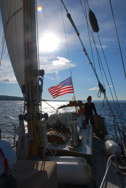
Sailing in the Bras d'Or Lake

By evening, we approach the channel and islands that lead up to the canal. We pass several islands with markers that look like small lighthouses - wow, what class! Navaids that actually look nice. We decide to anchor out off Beaver Island.
Anchorage, Beaver Island, Bras d'Or Lake
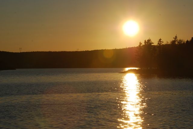
Day 3: 8/29 - Through the St. Peter's Canal, and to the Atlantic
After another good night's sleep and breakfast, we motor on to St. Peter's, and motor through the St. Peter's Canal. Just before arriving at the canal, we radio the bridge tender, and he open the swing bridge for us.
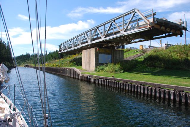
St Peters, Nova Scotia, just before entering the canal
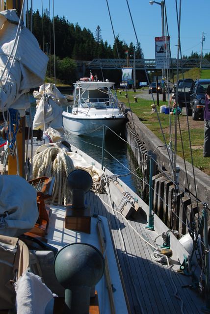
We motor on into the canal. The lock officials are very polite, but standard policy here is to examine the boat's documentation. All goes well, and we ride the locks down to sea level.
Entering the locks on the St. Peter's Canal
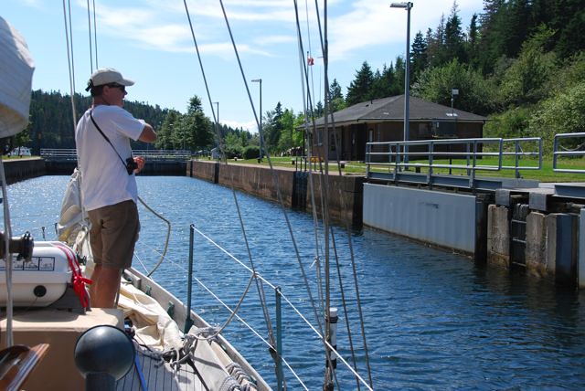
St Peter's Canal Locks

Then, its out into the Atlantic! Hmm, the Atlantic - a first for me. The wind is blowing from the southwest - the direction we need to go, so we beat into the wind. As we get further offshore, the wind picks up, so we put a reef in the main.
Route Map: St. Peters to Shelburne Nova Scotia

Shelburne? Why Shelburne? Read on to find out.
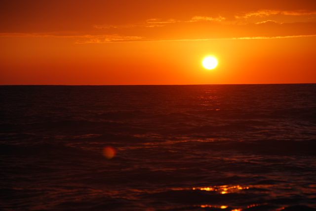
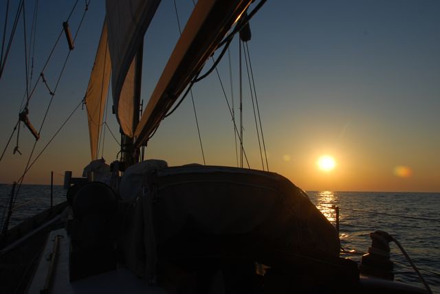
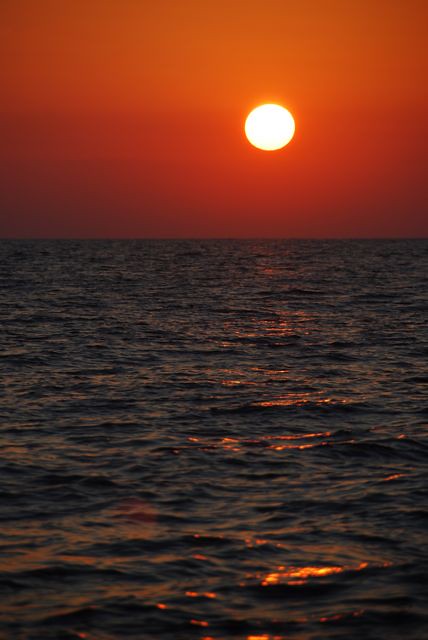
One of the greatest things about offshore sailing is you get to see the sunrise and sunsets, depending on your watch, but it was a few days at sea, so I got to see several sunsets and sunrises. As a west coaster, it was weird seeing the sunset over the land, and the sunrise over the ocean, but they were beautiful.
Atlantic Ocean Sunset
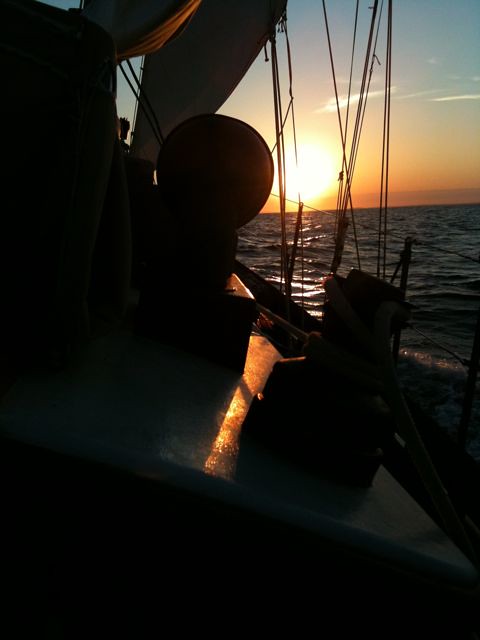
Our watches were very casual - no real set times. We just traded off, and made sure no one was on too long, and everyone got some sleep. It was rather bumpy - winds 15-25 knots, and swells 5-8 feet.
Atlantic Ocean Sunrise
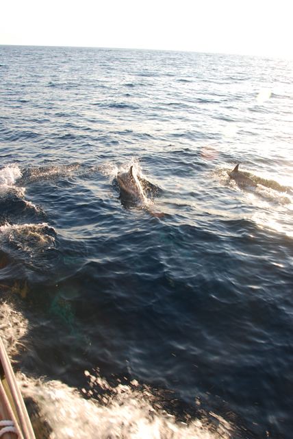
We were even treated to the company of a pod of dolphins! They swam alongside the boat for several minutes, before heading off. We all dashed around to try to get photos - then they were gone. It was a nice treat.
A pod of Dolphins!
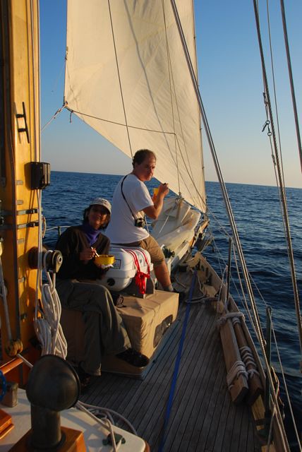
Dinner while sailing
Sunset
Sunrise
OK, back to the "why Shelburne?" question. Cutter rigged sailboats generally don't point very well, and this boat was no exception. We were beating into the wind, it sure seemed like we weren't making very much headway toward our destination. The wind was pretty steady, so we were sailing some fairly long tacks. True confessions: I didn't fare too well in the seasickness area. Even with scopolamine patches and dramamine, I had a tough time holding anything down. I had to force myself to keep hydrated and fed. Navigation wise, we decided to take long tacks (tacking a 32' cutter in 20+ knot winds is not something you want to do singlehandedly, at night!). The winds were pretty steady, force and direction wise. But the one thing we forgot is when you are 100 miles offshore, you are out of VHF range! That means you can't listen to important information, like weather reports, and hurricane reports! When we realized this, we tacked to sail back towards land, and when we got into weather radio range - sure enough - there was a hurricane headed our way! Hurricane Earl was heading our direction. So we looked on the charts and decided that Shelburne Nova Scotia looked like a great hurricane hole to hide out in. The harbor is very deep and reputed to be pretty protected.
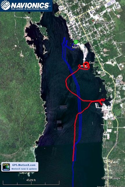
Route Map: Entering (red) and Leaving (blue) Shelburne Harbor, Nova Scotia
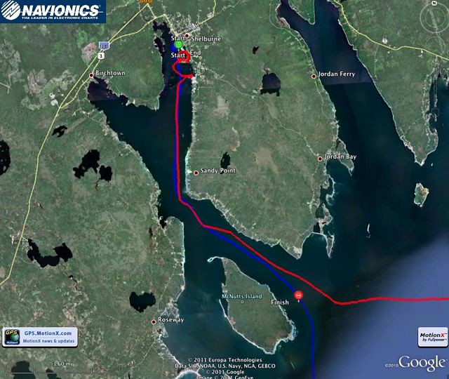
9/2 Thursday: Approaching Shelburne NS - to the Public Dock.
Hey, what happened to 8/29, 8/30, and 9/1 ? Well, it was all pretty much a blur to me. We were offshore the whole time, and I managed to stay my watches, but I wasn't feeling too well (seasick) and didn't bother to log anything. Side note: The boat was equipped with a Monitor self steering vane - this proved to be an essential piece of gear, and made the night watches more bearable. We also used the radar to watch for other boats. But if it wasn't for the Monitor, the trip and the watches would have been much more wearing on the crew. With land in sight again and the water smoothing out, sailing became more fun. The wind was going our direction and the swells were manageable. Sailing into the harbor took a while, even with good wind. But it sure was nice watching the sunset over land!
Sailing into the Sunset - entering Shelburne Harbor
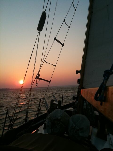
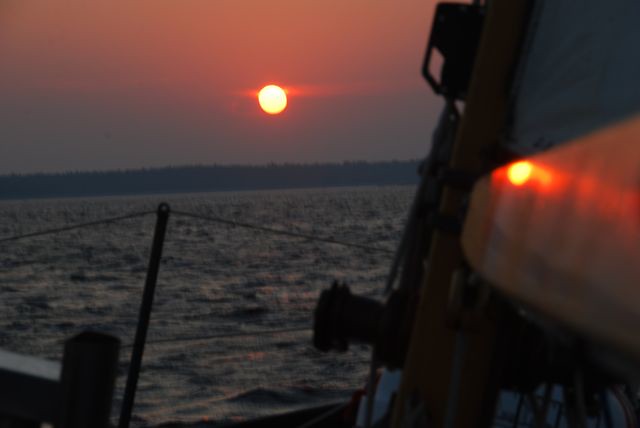
Soon, it is pitch dark, and we are trying to figure out where the Shelburne Yacht club is. I call them on the cell phone, and was informed we’d have to leave their dock before the hurricane hits. I thought their dock was before the public dock and so we go looking for it – near the commercial outfit, where a cruise ship is being worked on. No signs of a yacht club or dock here, so we decide to head for the public dock. At the public dock, it looks like all of the inside space is taken, and everyone is rafted 3-4+ boats deep. So we decide to tie up to a three sailboat raft – seems to be the easiest to get to. We try to be quiet, but end up waking up the boat we rafted to – a 50’ Jenneau. The owners are very friendly and helpful. We get things tied up and under control, then its time to hit the sack. Its hard to believe a hurricane is on the way – it is very calm tonight, but there sure are a lot of boats at the public dock!
Entering Shelburne Harbor (red route): Navigating by iPhone GPS in the dark!
9/3 Friday: At the Shelburne Public Dock

After a refreshing night’s sleep for the crew (no night watch!), we wake up to blue skies and calm conditions! Hmm, what’s this about a hurricane? We get to know our neighbors, who are full time cruisers, out of Wisconsin, who are on their way to the United States Sailboat show in Annapolis, MD. They were very kind, and gave us a ride in their inflatable to the Shelburne Yacht Club. We took our laundry, did our wash and all took showers. Felt very nice. The Yacht club also has WiFi. Very nice place. We walk up the street to explore Shelburne a bit, and find a nice place for lunch.
Side Street in Shelburne

Shelburne
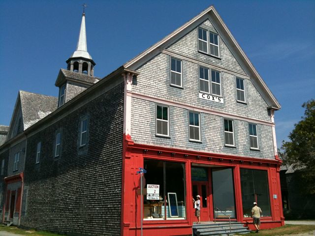
It was quite nice – hard to believe a hurricane is on the way. Sunny, warm, very nice. We got to explore a bit, then headed back to the Yacht club for our laundary, and walked back to the boat. The hurricane watch indicated Earl will hit the NW shore of Nova Scotia, possibly a few miles from us! Winds are forecasted to be up to 90 mph. It did get a bit windy and dark that evening. Before it got too bad, we did put sleeping bags and stuff out to dry and air out a bit.
9/4/2010 Saturday: At the Shelburne, NS public Dock, Hurricane day!
Gray and overcast, and getting windy – here it comes! We start recording readings on the barameter – yes, the pressure is dropping rapidly, to a very low 977 mb’s at 10:30 am. And yes, it is dark, stormy, windy, then clearing. One boat’s wind indicator reads 59 kts. Reports were the leading edge of the storm moved in just past midnight, with rain and winds. The government pier and all of the big boats upwind of us provided quite a bit of shelter – only a bit of rocking, and wind.
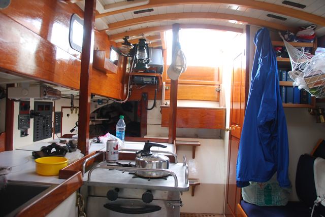
Inside: Shipshape?
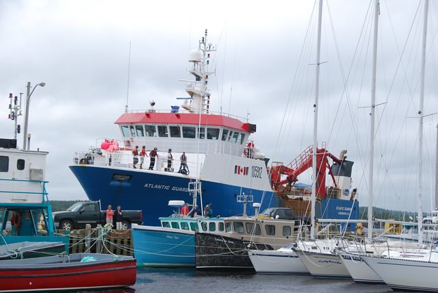
After noon, the rain and wind stopped and the sky appeared blue. We were in the eye of the storm. Soon, the rain and wind gusts were back. At about 4pm, we watched one of the very large commercial boats – the Atlantic Guardian- leave the upwind side of the dock – too bad! They were providing us a lot of wind protection. But, they aren’t making any money sitting at the dock. We basically stayed put at the dock for most of the day, except maybe to go out for a walk. Funny, there was a lot of dock action during the storm – people coming and going in cars, visiting boats, talking, smoking, etc. At the Yacht club, there was a ‘hurricane watch’, socializing, and next door, in the museum part of the building, there was a wedding reception. Even with the wind and everything, things kept going on.
9/5/2010 Sunday: At the Shelburne, NS public Dock, Hurricane passed, but still blowing hard
The weather seems a lot better – still windy but partly sunny skies. Boats start heading back to the Yacht Club. We decided to join them – brings us closer to town, nicer facilities and we need to fill up to prepare for our departure. So we left the public dock, said good bye and thanks to our very nice neighbors, and pulled into the Yacht Club.
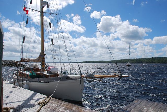
Tied up at the dock at the Shelburne Harbor Yacht Club
Unfortunately, the poor guy that was running the yacht club needed some time off, so the yacht club was closed for the next couple of days. So we did some sightseeing in Shelburne: visited the Dory museum, Ross-Thompson House, walked through a few of the cemeteries, and explored town.
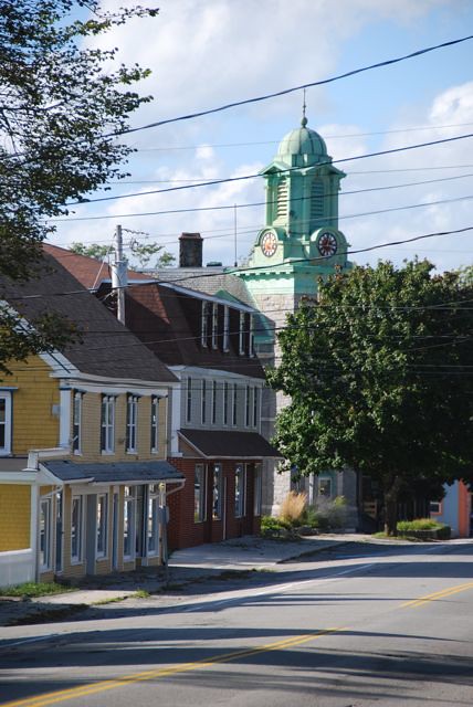
Downtown Shelburne
Dory Museum

My sister and Tom walked to the grocery store at the far end of town and brought back groceries. I stayed aboard. I got surprised by some very nice Canadian officials (Immigration? Customs?) – luckily, I managed to find the documentation for the boat and showed them the documents and my passport, and they were satisified. Whew! I thought I was done for!
Shelburne Harbor Yacht Club
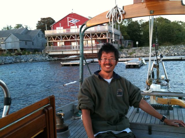
9/6/2010 Monday: Departing Shelburne
We filled up the water, got the boat ready to depart, filled up with Diesel, took a quick shower, and departed. Many thanks to the Commodore of the Yacht Club, who came down and opened up the building for us, and sold us diesel – the Yacht Club was actually closed. We left the dock about 1:30 PM, and sailed out of the harbor, taking photos as we left (the wavy blue track on the map above).
Leaving Shelburne

Sailing out of Shelburne Harbor
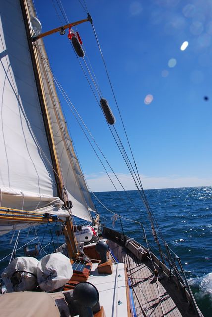
Winds were very good, and it was a very nice sail departing from Shelburne. Maybe someday I’ll get the chance to return. It sure was a nice place to be stranded to wait out the Hurricane.
9/7/2010 Tuesday – 9/9/2010 Thursday: Sailing from Shelburne to Cape Cod Canal
Route Map: Shelburne NS to the Cape Cod Canal, and to Newport, Rhode Island
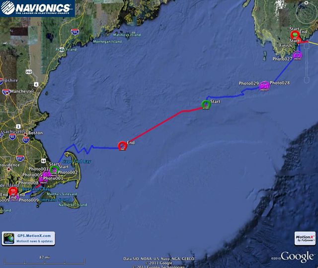
OK, back to the grind – beating against the wind again. It was fairly rough with some good swells and wind. We mostly motor sailed. Another grueling couple of days, making slow headway in rough seas. We did see a few cruise ships and ships at night, all lit up. Again, with rotating watches, I got to see a few good sunsets and sunrises. And sailing at night can be a lot of fun.
Seems like it took forever to get around the tip of Cape Cod – multiple tacks and a long time and we finally made it inside cape cod – after dark. We set the boat to hove to, just outside the canal, until morning and favorable currents in the canal. It was quite windy just outside the canal, so we didn’t get much good rest.
9/10/2010 Friday: Cape Cod Canal, Buzzards Bay, to Newport RI
Route Map: Cape Cod Canal to Newport

We ate our breakfast, then motored into the canal. It was very nice to get inside, in the sheltered canal.
Approaching the Cape Cod Canal
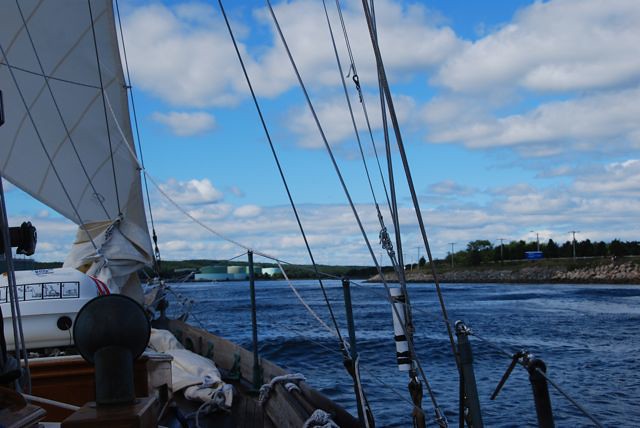
The sun was even out for most of the trip. We had a very nice motor, under the bridges, past the marina, trails, towns, etc.
Motoring through the Cape Cod Canal
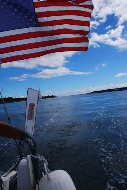
Motoring through the Cape Cod Canal: one of several bridges

Cape Cod Canal: Railroad Bridge
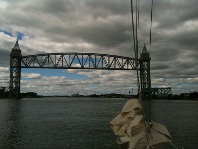
Lots of other boats going through – got some good photos of bridges, boats, shore activity. As we motored out of the canal, the wind began to pick up, so we sailed on a beam reach – very refreshing after a lot of motoring. Wind was pretty good.
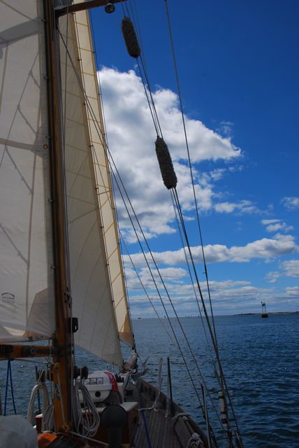
Sailing across Buzzards Bay
Sailboat Race, Buzzards Bay
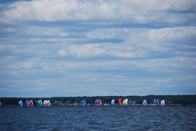
It was cloudy, with some breaks, making it a very nice sail. We sailed past Buzzards Bay, and got to Newport RI in the pitch darkness – seems like a pattern!. Somehow, we made our way through the maze of anchored boats (they seemed to be anchored everywhere, and no set channel, and no anchor lights!). We found the Goat Island Marina - lots of boats, but there was no one around.
Newport, Rhode Island, Goat Island Marina, at night, looking towards the Newport Yacht Club.
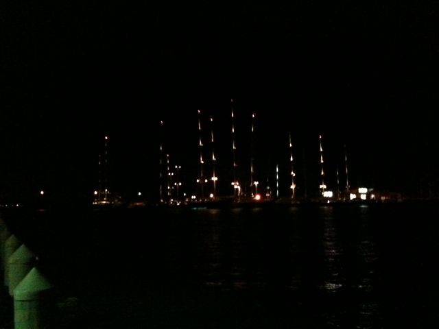
My sister went ashore and found the night watchman, who showed her the dock with our assigned slip. We managed to make it into the slip, tidied up the boat, and waited for the customs agent to show up. We had a very nice interview with the customs agent in the Yacht Club. Then, I took a shower, and went to bed.
9/11/2010 Saturday: Jeff travels from Newport Rhode Island to New York
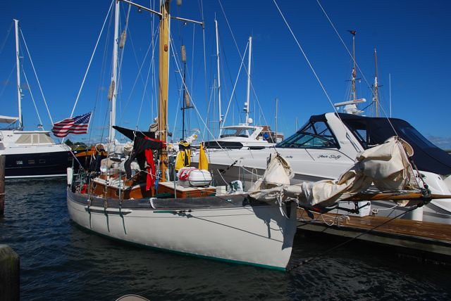
I had arranged for a hired car to pick me up at the Goat Island Marina at 11:30am. So after packing and getting a shower, I walked around the dock and took a bunch of photos. We were right across from the Newport Yacht Club, with all of the really big boats with the hired professional crews, and matching uniforms.
Racing sailboats across from Goat Island Marina
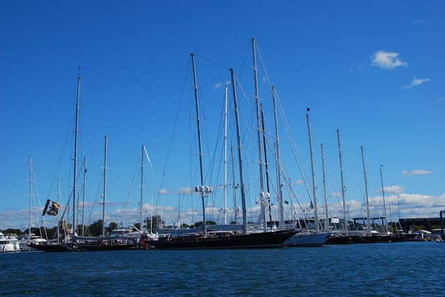
We got to see a few of them departing – must be having some kind of a race today. We even saw one of the committee boats going by, towing one of the marks. Some very impressive boats.
Newport, Rhode Island - heading out for a race!
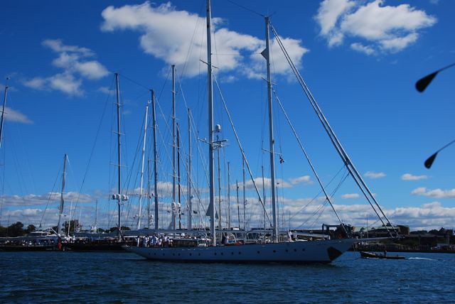
Newport, Rhode Island - heading out for a race!
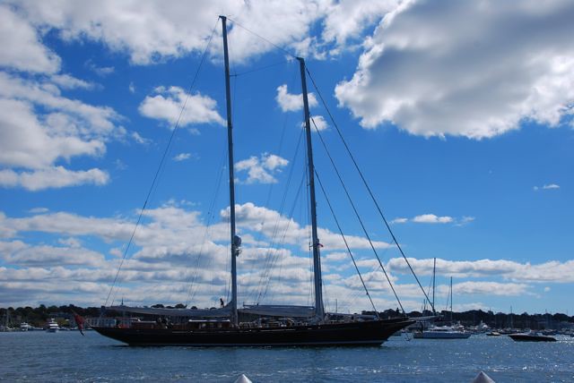
Lots of money here in Newport! Found out later that moorage here was $100 per night, and water and power was another $30/night. Wish I could stay, but to make my Sunday morning flight, I had to get to New York today. So I took the car to Kingston RI – a very nice ride, but kind of expensive (ended up being about $90). Then, I caught an Amtrak train from Kingston to New York Penn Station. It was a very nice ride. Got into Penn Station in the late afternoon. Met my college buddy who lives in NYC and got to motel "zero" on his couch.
9/12/2010 Sunday: Jeff flies back to Seattle
I took an early morning car to JFK, and cleared security. I had a bite to eat for breakfast. Then, I boarded my Delta flight, and flew back to SEA. I managed to get a window seat, even though I had only booked a week before (when I was stuck in Shelburne) so I took some photos on the way home. Got some good photos of eastern Washington – Lake Chelan, Lake Roosevelt, Banks Lake and Grand Coulee dam. All in all, it was a good trip, but it was really good to get back home!
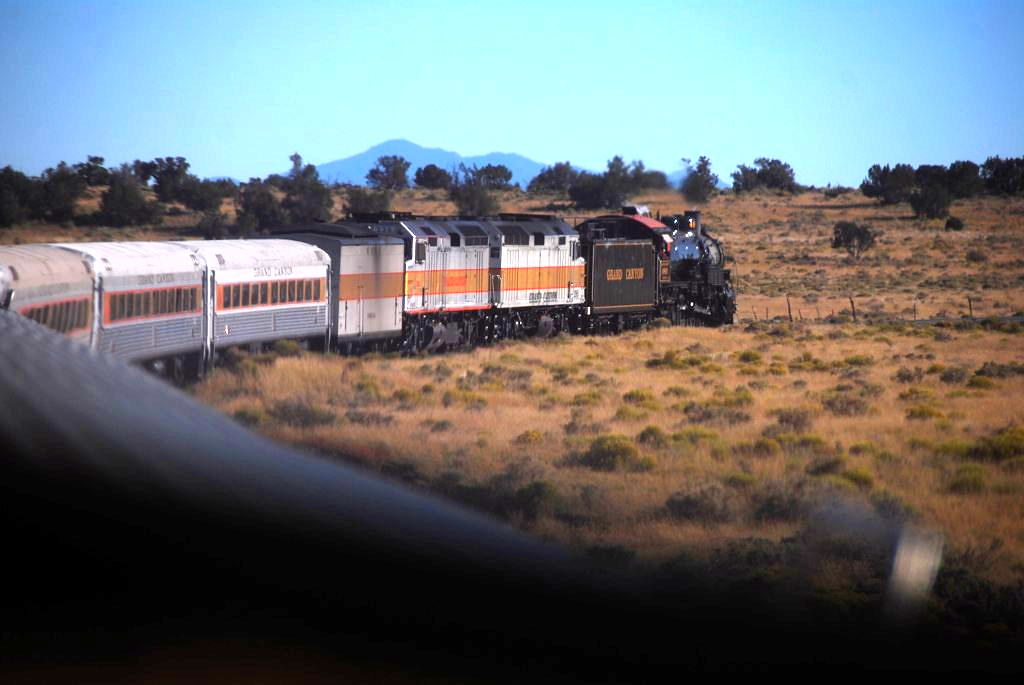
And yes, I did make it to the Grand Canyon the following Saturday, to ride the special Steam Locomotive excursion, and the big surprise was that my son and I got the front row seats of the first dome car on the return trip!
Sorry, this is NOT a San Juan 21 cruise, but stay tuned - it was a great adventure, and there are a couple of places that would make great SJ21 cruises, if it weren't so far to drive! For me, trailering from the Seattle area to Dundee NS is about 3,800 miles one way. Too bad - the Bras d'Or Lake, in north eastern Nova Scotia, would be a great place to cruise in a SJ21. The lake is about 60 nautical miles long, but it is divided up by islands and peninsulas to create lots of great coves, bays and waterways to explore. And it is fairly to very remote, and the scenery is fantastic. For those of you who are closer, you might look into it.
This adventure started when my sister's friend bought a boat - but it was located in Dundee Nova Scotia. The adventure was to move it to Liberty Marina, New Jersey, which is about 650 nautical miles to the south, as the crow flies. To make it more exciting, most of the trip would be straight into the prevailing winds! The boat is a 32 foot Bristol Channel Cutter - a Lyle Hess design. The yacht broker advertised it as the sister ship to Taleisin - Lin & Larry Pardey's (famous world cruisers) boat, but the boat we'd be sailing has a diesel engine, radar, GPS, and other nice cruising gear that the Pardleys have chosen to do without. The boat is very well equipped for offshore cruising, including safety gear.
When I first volunteered to come on as crew, I was intending to complete the whole trip - help move the boat all the way to New Jersey. But things didn't quite work out that way, and I had to bail out when we got to Newport Rhode Island (my poor excuse is that I had dome seat reservations on the Steam Locomotive run of the Grand Canyon Railway). So there were three of us: my sister's friend Tom, my sister, and myself, on this adventure.
Route Map: Dundee, Nova Scotia to Newport, Rhode Island: over 600 Nautical Miles

My apologies. The tracks were made on my iPhone, running Navioncs Marine "Great Lakes" (for the Nova Scotia portion) and "US East" (for the US portion - this was before the new US&Canada version was released). The tracks aren't complete, because I lost the GPS signal sometimes, and ran out of battery power sometimes. But you get the idea of the route.
Day 1: 8/27 - Travel to Dundee Nova Scotia
Just Getting to Dundee is kind of an adventure in itself. I helped my daughter move into her dorm, then I took the redeye flight from Seattle to JFK. I had to ride the JFK-LaGuardia Shuttle to meet my sister and catch the flight to Halifax, Nova Scotia. Halifax is on Atlantic time, so I lost another hour. We had to wait till 4pm to catch the bus. The bus is an 'express' bus, stopping at the major towns along the way. It was a very scenic ride - someday, I'd like to come back and spend some time seeing things in Nova Scotia. We stopped at Truro, New Glascow, and a few more I didn't remember. Finally, after dark, we get to Port Hawksbury, where we get off. My sister and Tom head off to the grocery store to get provisions for the trip, while I wait with the baggage (our gear, boat parts, etc) at the pizza joint/bus stop. They load all the groceries in a taxi, come pick me & the gear up, and then we are off for a short ride to Dundee (the bus doesn't go there!). We get to the marina and load all the groceries onto the boat. By now, it is about 11:30pm - Atlantic time! We are pretty beat, so we jump into our bunks for the night.
First part of the cruise: Dundee Nova Scotia, to the St Peters Canal, then the Atlantic Ocean!

Day 2: 8/28 - Prepare the boat, then Sail to Beaver Island, Bras d'Or Lake
After a good night's sleep, we get up and start prepping the boat - hang the lifeslings, EPIRB, tune the rigging, fill the water tanks, etc. After lunch at the marina's restaurant, and a few more details, we are ready! The diesel gets topped off at the fuel dock.
Dundee Marina, Bras d'Or Lake, Nova Scotia

Then we leave, headed for the St. Peter's Canal. When we get out into the lake, we find a bit of wind, so up go the sails! The boat is cutter rigged, so there is a jib and a stay sail up front - and the forestay is at the end of a 10' bowsprit - lots of sail area! We had a great sail - a good amount of wind on a beam reach.
Sailing in the Bras d'Or Lake

Sailing in the Bras d'Or Lake

By evening, we approach the channel and islands that lead up to the canal. We pass several islands with markers that look like small lighthouses - wow, what class! Navaids that actually look nice. We decide to anchor out off Beaver Island.
Anchorage, Beaver Island, Bras d'Or Lake

Day 3: 8/29 - Through the St. Peter's Canal, and to the Atlantic
After another good night's sleep and breakfast, we motor on to St. Peter's, and motor through the St. Peter's Canal. Just before arriving at the canal, we radio the bridge tender, and he open the swing bridge for us.

St Peters, Nova Scotia, just before entering the canal

We motor on into the canal. The lock officials are very polite, but standard policy here is to examine the boat's documentation. All goes well, and we ride the locks down to sea level.
Entering the locks on the St. Peter's Canal

St Peter's Canal Locks

Then, its out into the Atlantic! Hmm, the Atlantic - a first for me. The wind is blowing from the southwest - the direction we need to go, so we beat into the wind. As we get further offshore, the wind picks up, so we put a reef in the main.
Route Map: St. Peters to Shelburne Nova Scotia

Shelburne? Why Shelburne? Read on to find out.
One of the greatest things about offshore sailing is you get to see the sunrise and sunsets, depending on your watch, but it was a few days at sea, so I got to see several sunsets and sunrises. As a west coaster, it was weird seeing the sunset over the land, and the sunrise over the ocean, but they were beautiful.
Atlantic Ocean Sunset

Our watches were very casual - no real set times. We just traded off, and made sure no one was on too long, and everyone got some sleep. It was rather bumpy - winds 15-25 knots, and swells 5-8 feet.
Atlantic Ocean Sunrise

We were even treated to the company of a pod of dolphins! They swam alongside the boat for several minutes, before heading off. We all dashed around to try to get photos - then they were gone. It was a nice treat.
A pod of Dolphins!

Dinner while sailing

Sunset

Sunrise

OK, back to the "why Shelburne?" question. Cutter rigged sailboats generally don't point very well, and this boat was no exception. We were beating into the wind, it sure seemed like we weren't making very much headway toward our destination. The wind was pretty steady, so we were sailing some fairly long tacks. True confessions: I didn't fare too well in the seasickness area. Even with scopolamine patches and dramamine, I had a tough time holding anything down. I had to force myself to keep hydrated and fed. Navigation wise, we decided to take long tacks (tacking a 32' cutter in 20+ knot winds is not something you want to do singlehandedly, at night!). The winds were pretty steady, force and direction wise. But the one thing we forgot is when you are 100 miles offshore, you are out of VHF range! That means you can't listen to important information, like weather reports, and hurricane reports! When we realized this, we tacked to sail back towards land, and when we got into weather radio range - sure enough - there was a hurricane headed our way! Hurricane Earl was heading our direction. So we looked on the charts and decided that Shelburne Nova Scotia looked like a great hurricane hole to hide out in. The harbor is very deep and reputed to be pretty protected.
Route Map: Entering (red) and Leaving (blue) Shelburne Harbor, Nova Scotia

9/2 Thursday: Approaching Shelburne NS - to the Public Dock.
Hey, what happened to 8/29, 8/30, and 9/1 ? Well, it was all pretty much a blur to me. We were offshore the whole time, and I managed to stay my watches, but I wasn't feeling too well (seasick) and didn't bother to log anything. Side note: The boat was equipped with a Monitor self steering vane - this proved to be an essential piece of gear, and made the night watches more bearable. We also used the radar to watch for other boats. But if it wasn't for the Monitor, the trip and the watches would have been much more wearing on the crew. With land in sight again and the water smoothing out, sailing became more fun. The wind was going our direction and the swells were manageable. Sailing into the harbor took a while, even with good wind. But it sure was nice watching the sunset over land!
Sailing into the Sunset - entering Shelburne Harbor


Soon, it is pitch dark, and we are trying to figure out where the Shelburne Yacht club is. I call them on the cell phone, and was informed we’d have to leave their dock before the hurricane hits. I thought their dock was before the public dock and so we go looking for it – near the commercial outfit, where a cruise ship is being worked on. No signs of a yacht club or dock here, so we decide to head for the public dock. At the public dock, it looks like all of the inside space is taken, and everyone is rafted 3-4+ boats deep. So we decide to tie up to a three sailboat raft – seems to be the easiest to get to. We try to be quiet, but end up waking up the boat we rafted to – a 50’ Jenneau. The owners are very friendly and helpful. We get things tied up and under control, then its time to hit the sack. Its hard to believe a hurricane is on the way – it is very calm tonight, but there sure are a lot of boats at the public dock!
Entering Shelburne Harbor (red route): Navigating by iPhone GPS in the dark!

9/3 Friday: At the Shelburne Public Dock

After a refreshing night’s sleep for the crew (no night watch!), we wake up to blue skies and calm conditions! Hmm, what’s this about a hurricane? We get to know our neighbors, who are full time cruisers, out of Wisconsin, who are on their way to the United States Sailboat show in Annapolis, MD. They were very kind, and gave us a ride in their inflatable to the Shelburne Yacht Club. We took our laundry, did our wash and all took showers. Felt very nice. The Yacht club also has WiFi. Very nice place. We walk up the street to explore Shelburne a bit, and find a nice place for lunch.
Side Street in Shelburne

Shelburne

It was quite nice – hard to believe a hurricane is on the way. Sunny, warm, very nice. We got to explore a bit, then headed back to the Yacht club for our laundary, and walked back to the boat. The hurricane watch indicated Earl will hit the NW shore of Nova Scotia, possibly a few miles from us! Winds are forecasted to be up to 90 mph. It did get a bit windy and dark that evening. Before it got too bad, we did put sleeping bags and stuff out to dry and air out a bit.
9/4/2010 Saturday: At the Shelburne, NS public Dock, Hurricane day!

Gray and overcast, and getting windy – here it comes! We start recording readings on the barameter – yes, the pressure is dropping rapidly, to a very low 977 mb’s at 10:30 am. And yes, it is dark, stormy, windy, then clearing. One boat’s wind indicator reads 59 kts. Reports were the leading edge of the storm moved in just past midnight, with rain and winds. The government pier and all of the big boats upwind of us provided quite a bit of shelter – only a bit of rocking, and wind.
Inside: Shipshape?

After noon, the rain and wind stopped and the sky appeared blue. We were in the eye of the storm. Soon, the rain and wind gusts were back. At about 4pm, we watched one of the very large commercial boats – the Atlantic Guardian- leave the upwind side of the dock – too bad! They were providing us a lot of wind protection. But, they aren’t making any money sitting at the dock. We basically stayed put at the dock for most of the day, except maybe to go out for a walk. Funny, there was a lot of dock action during the storm – people coming and going in cars, visiting boats, talking, smoking, etc. At the Yacht club, there was a ‘hurricane watch’, socializing, and next door, in the museum part of the building, there was a wedding reception. Even with the wind and everything, things kept going on.
9/5/2010 Sunday: At the Shelburne, NS public Dock, Hurricane passed, but still blowing hard
The weather seems a lot better – still windy but partly sunny skies. Boats start heading back to the Yacht Club. We decided to join them – brings us closer to town, nicer facilities and we need to fill up to prepare for our departure. So we left the public dock, said good bye and thanks to our very nice neighbors, and pulled into the Yacht Club.
Tied up at the dock at the Shelburne Harbor Yacht Club

Unfortunately, the poor guy that was running the yacht club needed some time off, so the yacht club was closed for the next couple of days. So we did some sightseeing in Shelburne: visited the Dory museum, Ross-Thompson House, walked through a few of the cemeteries, and explored town.
Downtown Shelburne

Dory Museum

My sister and Tom walked to the grocery store at the far end of town and brought back groceries. I stayed aboard. I got surprised by some very nice Canadian officials (Immigration? Customs?) – luckily, I managed to find the documentation for the boat and showed them the documents and my passport, and they were satisified. Whew! I thought I was done for!
Shelburne Harbor Yacht Club

9/6/2010 Monday: Departing Shelburne
We filled up the water, got the boat ready to depart, filled up with Diesel, took a quick shower, and departed. Many thanks to the Commodore of the Yacht Club, who came down and opened up the building for us, and sold us diesel – the Yacht Club was actually closed. We left the dock about 1:30 PM, and sailed out of the harbor, taking photos as we left (the wavy blue track on the map above).
Leaving Shelburne

Sailing out of Shelburne Harbor

Winds were very good, and it was a very nice sail departing from Shelburne. Maybe someday I’ll get the chance to return. It sure was a nice place to be stranded to wait out the Hurricane.
9/7/2010 Tuesday – 9/9/2010 Thursday: Sailing from Shelburne to Cape Cod Canal
Route Map: Shelburne NS to the Cape Cod Canal, and to Newport, Rhode Island

OK, back to the grind – beating against the wind again. It was fairly rough with some good swells and wind. We mostly motor sailed. Another grueling couple of days, making slow headway in rough seas. We did see a few cruise ships and ships at night, all lit up. Again, with rotating watches, I got to see a few good sunsets and sunrises. And sailing at night can be a lot of fun.
Seems like it took forever to get around the tip of Cape Cod – multiple tacks and a long time and we finally made it inside cape cod – after dark. We set the boat to hove to, just outside the canal, until morning and favorable currents in the canal. It was quite windy just outside the canal, so we didn’t get much good rest.
9/10/2010 Friday: Cape Cod Canal, Buzzards Bay, to Newport RI
Route Map: Cape Cod Canal to Newport

We ate our breakfast, then motored into the canal. It was very nice to get inside, in the sheltered canal.
Approaching the Cape Cod Canal

The sun was even out for most of the trip. We had a very nice motor, under the bridges, past the marina, trails, towns, etc.
Motoring through the Cape Cod Canal

Motoring through the Cape Cod Canal: one of several bridges

Cape Cod Canal: Railroad Bridge

Lots of other boats going through – got some good photos of bridges, boats, shore activity. As we motored out of the canal, the wind began to pick up, so we sailed on a beam reach – very refreshing after a lot of motoring. Wind was pretty good.
Sailing across Buzzards Bay

Sailboat Race, Buzzards Bay

It was cloudy, with some breaks, making it a very nice sail. We sailed past Buzzards Bay, and got to Newport RI in the pitch darkness – seems like a pattern!. Somehow, we made our way through the maze of anchored boats (they seemed to be anchored everywhere, and no set channel, and no anchor lights!). We found the Goat Island Marina - lots of boats, but there was no one around.
Newport, Rhode Island, Goat Island Marina, at night, looking towards the Newport Yacht Club.

My sister went ashore and found the night watchman, who showed her the dock with our assigned slip. We managed to make it into the slip, tidied up the boat, and waited for the customs agent to show up. We had a very nice interview with the customs agent in the Yacht Club. Then, I took a shower, and went to bed.
9/11/2010 Saturday: Jeff travels from Newport Rhode Island to New York

I had arranged for a hired car to pick me up at the Goat Island Marina at 11:30am. So after packing and getting a shower, I walked around the dock and took a bunch of photos. We were right across from the Newport Yacht Club, with all of the really big boats with the hired professional crews, and matching uniforms.
Racing sailboats across from Goat Island Marina

We got to see a few of them departing – must be having some kind of a race today. We even saw one of the committee boats going by, towing one of the marks. Some very impressive boats.
Newport, Rhode Island - heading out for a race!

Newport, Rhode Island - heading out for a race!

Lots of money here in Newport! Found out later that moorage here was $100 per night, and water and power was another $30/night. Wish I could stay, but to make my Sunday morning flight, I had to get to New York today. So I took the car to Kingston RI – a very nice ride, but kind of expensive (ended up being about $90). Then, I caught an Amtrak train from Kingston to New York Penn Station. It was a very nice ride. Got into Penn Station in the late afternoon. Met my college buddy who lives in NYC and got to motel "zero" on his couch.
9/12/2010 Sunday: Jeff flies back to Seattle
I took an early morning car to JFK, and cleared security. I had a bite to eat for breakfast. Then, I boarded my Delta flight, and flew back to SEA. I managed to get a window seat, even though I had only booked a week before (when I was stuck in Shelburne) so I took some photos on the way home. Got some good photos of eastern Washington – Lake Chelan, Lake Roosevelt, Banks Lake and Grand Coulee dam. All in all, it was a good trip, but it was really good to get back home!
And yes, I did make it to the Grand Canyon the following Saturday, to ride the special Steam Locomotive excursion, and the big surprise was that my son and I got the front row seats of the first dome car on the return trip!
